You might be wondering where summer has gone. Temperatures have dropped and rain has become a bigger feature of the forecast.
But July so far actually hasn't been that unusual. While it has been a little wetter than normal for some of us, temperatures are in fact slightly above average.
It just feels different because of the June we had - the warmest on record by a considerable margin.
So why the big change?
The year so far
Up to now 2023 can be divided into chunks of contrasting weather that have tended to persist for many days or weeks.
January started off mild and unsettled but then turned drier and colder and it stayed that way into February. In fact it was the driest February since 1993 across the UK as a whole, with central and southern England recording less than 20% of the rainfall they'd normally expect.
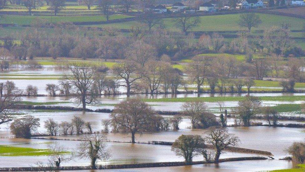
But March brought a huge turnaround with places that had seen almost no rain in February receiving a real deluge. It turned out to be the UK's sixth wettest March on record.
Spring warmth was hard to come by. After a cool April very warm weather was distinctly lacking in May. Nowhere reached 24°C until the month was nearly over, on the 27th.
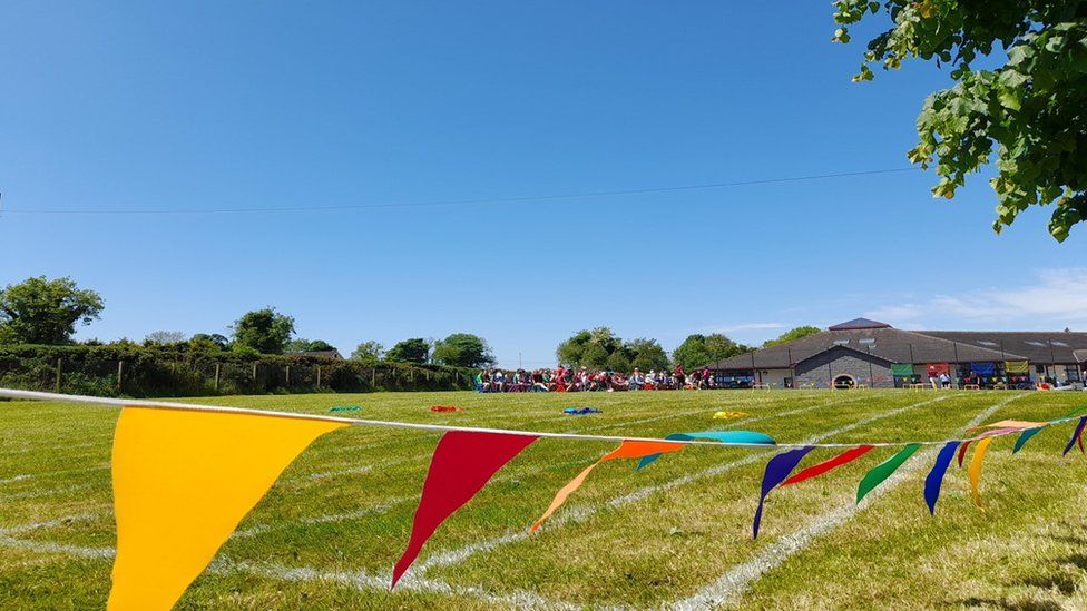
However, that theme changed dramatically in June. Temperatures soared to 32.2°C, with a heatwave being declared in many places. Ultimately it was the warmest June on record which, according to the Met Office, bears the "fingerprint of climate change".
Then it was all change again in early July with low pressure setting in, replacing the heat with something cooler and wetter. And this pattern looks set to continue further into the month.
Blocked patterns
The notable thing about these wildly differing periods of weather has been how long they've stuck around and how long we've had to wait for things to change.
This is down to something called a blocked weather pattern.
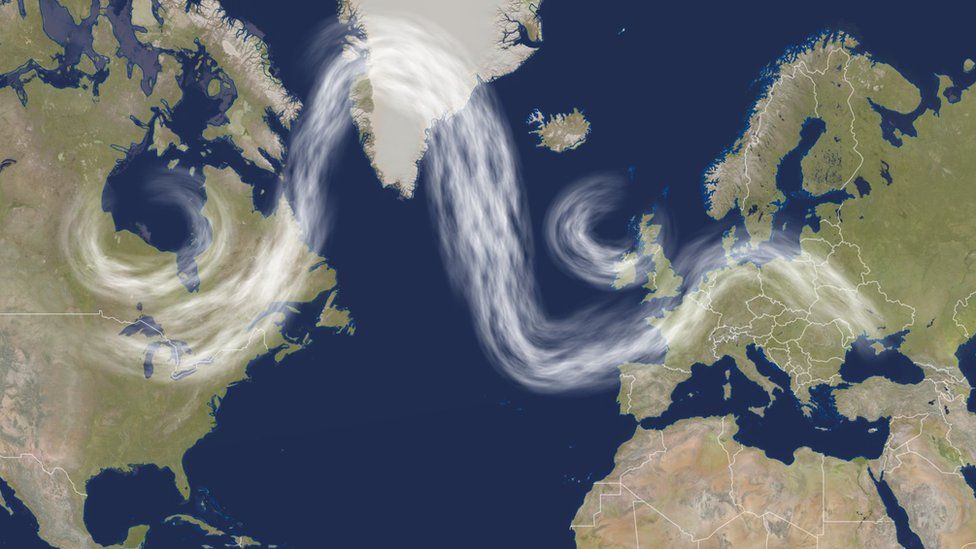
Often the jet stream - the flow of winds high up in the atmosphere - rushes quickly from west to east in nearly a straight line. Weather systems will move overhead rapidly and the weather will change from day to day.
At other times the jet stream weakens and the flow becomes much more bendy, winding northwards and southwards forming big ridges and troughs.
In these situations weather systems tend to get stuck in the same place for a long time and so changes only come about very slowly.
Depending on where they develop blocked weather patterns can bring extremes of weather - heatwaves and cold spells, floods and drought.
Is it because of climate change?
Some studies suggest climate change might make blocked patterns more common.
The jet stream is driven by the contrast in the temperature north-to-south and with the Arctic warming more quickly than areas further south that contrast could lessen. This would weaken the jet stream and make it more susceptible to these waving patterns.
The science on this is complex though - and waves in the jet stream happen naturally anyway - so it's not yet clear how big an effect climate change is having.
What we do know is that when those blocked patterns do occur the extremes of weather they bring, including floods and heatwaves, are likely to be more severe in a warmer world.


No comments yet
Be the first to share your thoughts!